DGL specialises in providing cutting-edge aerial imaging services designed to deliver accurate, efficient, and cost-effective solutions for various industries. Leveraging advanced drone technology and expert analysis, we offer a comprehensive range of services tailored to meet your specific needs.
What are aerial imaging surveys?
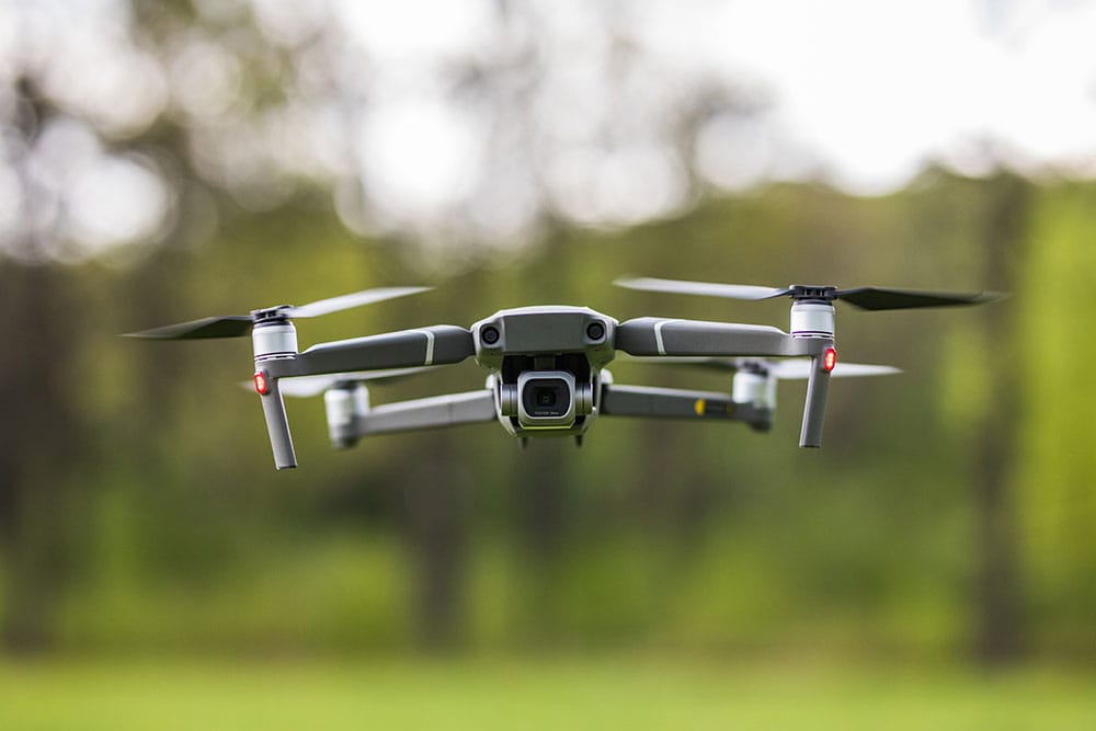
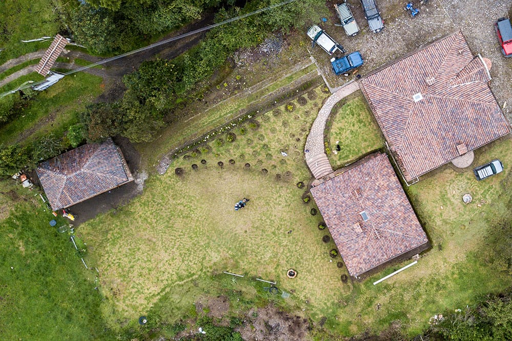
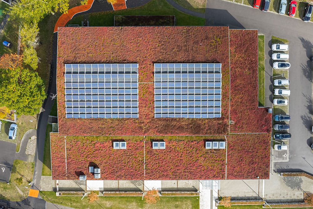
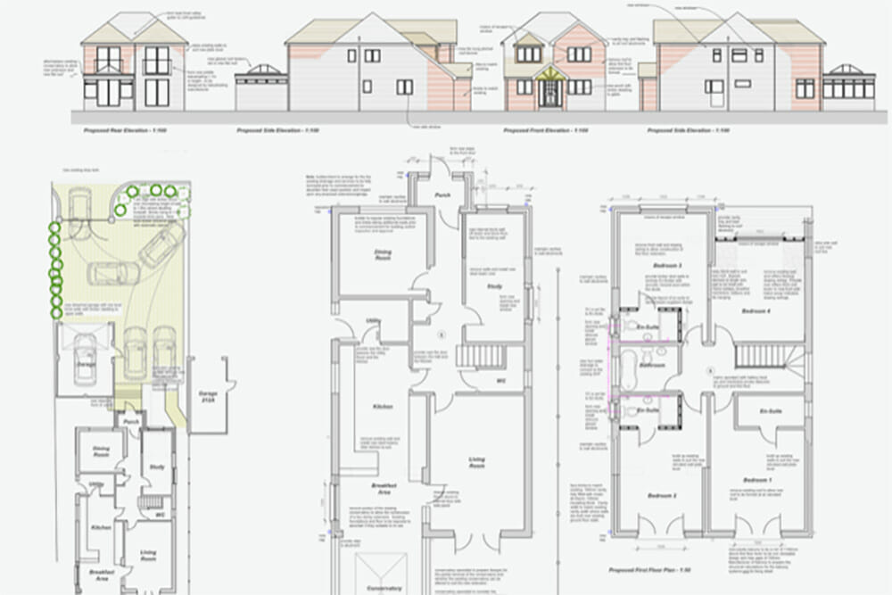
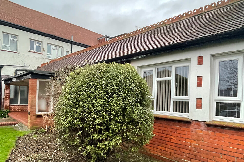
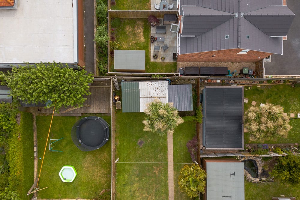
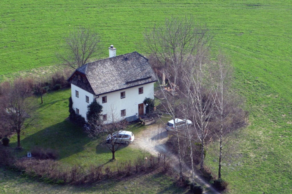
DGL’s drone surveys capture high-resolution images and data from above. This innovative approach allows for detailed visualisation of large areas, structures, or views from above, eliminating the need for traditional ground-based inspections, MEWP’s, or scaffolding.
DGL’s drones are equipped with advanced technologies such as high-definition cameras for still and recording facilities, our drones deliver precise and actionable insights tailored to various industries, all drone flights are carried out under the supervision and guidance of The Royal Institution of Chartered Surveyors MRICS Chartered Building Surveyors, our drones and operators are registered and licenced with the Civil Aviation Authority.